


TERRA Researcher Presents Innovation in Vegetation Monitoring Using Satellites and Artificial Intelligence at COS2023
Manuel Campagnolo participated as an invited speaker on the Innovation Panel, where he highlighted new approaches for detecting vegetation loss using space technology and advanced computing.
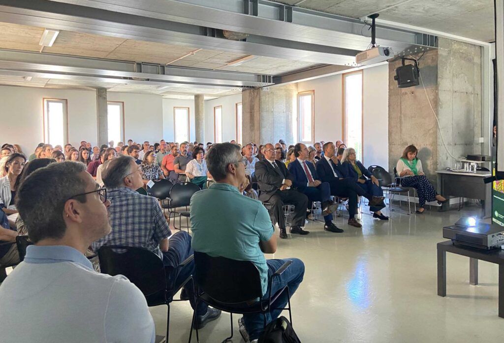
Researcher Manuel Campagnolo, from the Centro de Estudos Florestais of the Instituto Superior de Agronomia – ISA and member of the TERRA Associate Laboratory, was an invited speaker at the “Painel de Inovação: Novos produtos SMOS com tecnologia espacial e inteligência artificial”, part of the event “COS2023 e Inovação Geoespacial – Monitorizar Territórios em Mudança”, organized by the Direção-Geral do Território – DGT, which took place in July in Lisbon.
The event brought together representatives from public administration, the scientific community, and technology companies to discuss advances in the use of Earth Observation data and digital technologies for monitoring land and the environment. The panel in which Manuel Campagnolo participated focused on new products derived from the SMOS (Soil Moisture and Ocean Salinity) mission and the potential of artificial intelligence and advanced computing in developing solutions for complex environmental challenges.
In his presentation, the researcher highlighted an ongoing initiative that brings academia closer to public administration, with tangible impacts on knowledge of the Portuguese territory:
“I am coordinating a collaboration between ISA and DGT for the automatic production of vegetation loss maps for Portugal using satellite data,” he stated.
In parallel with this collaboration, Manuel Campagnolo revealed the participation of CEF/ISA as a pilot project in a broader initiative, also led by DGT, in partnership with Laboratório de Instrumentação e Física Experimental de Partículas – LIP, with support from Centro Nacional de Computação Avançada – CNCA, under the Plano de Recuperação e Resiliência – PRR.
“We are also participating as a pilot project in the DGT/LIP collaboration for the creation of a repository and a data processing pipeline on an advanced computing platform (CNCA), within the scope of the PRR,” he explained.
These initiatives are aligned with TERRA’s mission to promote scientific solutions for smarter, more sustainable, and resilient land management by integrating cutting-edge technologies, such as satellite data and AI, to support public decision-making and ecosystem protection.
Partilhe esta notícia:
Share this news: